You can depend onreservoir navigation services (RNS)from Baker Hughes to drill and geosteer complex high-angle and horizontal wells. Our precise, real-time drilling capabilities and advanced formation evaluation technologies are complemented by dynamic, interactive software and experienced RNS supervisors offering expert advice. This fit-for-purpose, multidisciplinary approach reduces nonproductive time (NPT) and maximizes production by keeping your wellbore in the pay zone.
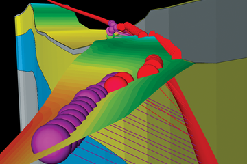
Comprehensive pre-well planning and modeling integrate predictive tool response modeling with the 3D geospatial earth model. During drilling, we detect remote boundaries in real time and update the models that describe and predict the environment ahead of the bit to keep the well in the most productive zone.
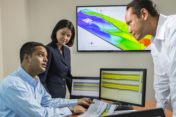
Make better real-time decisions
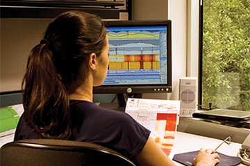
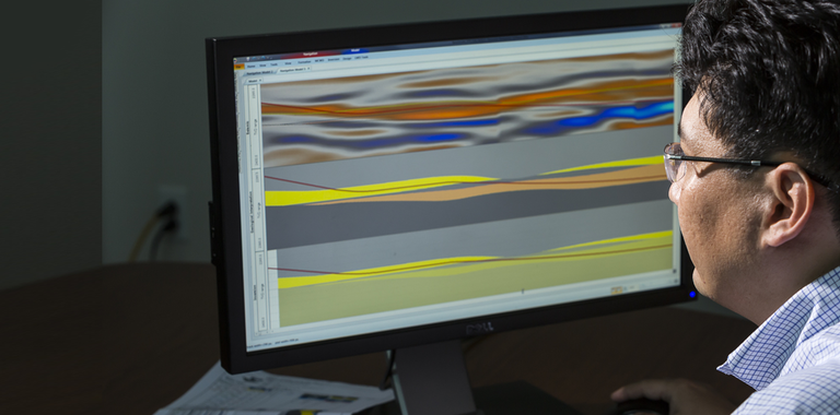
RNS supervisors dynamically link to a selection of geological curtain sections allowing fast, interactive updates and interpretations. Real-time distance-to-bed boundary and apparent-dip calculations with all image data are available for improved decision-making.
Our proprietary RNS software is a fully integrated, forward, logging-while-drilling (LWD) response modeling package with links to the 3D earth model. The software application has proprietary modeling algorithms for all of our LWD tools.
Contact your Baker Hughes representative today to find out how we can help you with your reservoir navigation concerns by keeping your well in the most productive zones.